
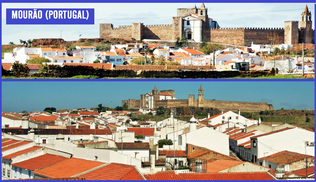
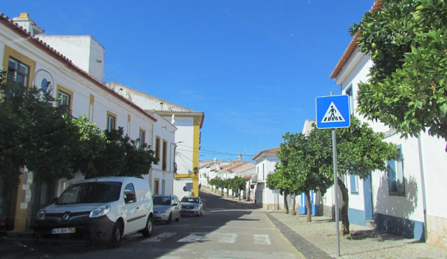
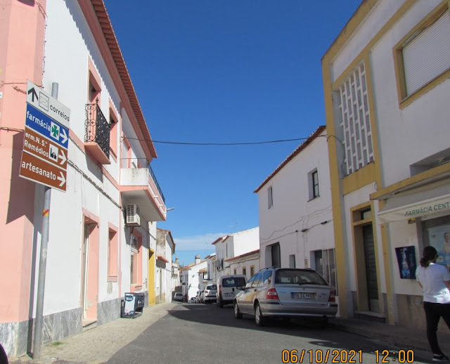
MOURÃO
38.38463º N; 7.34639º W
In 2001, the municipality had a total of 3315 inhabitants.
The municipality is limited to the north by the municipality of Alandroal, to the northeast and east by Spain, to the west by Reguengos de Monsaraz, and to the south by Moura and Barrancos in the district of Beja.
It has a climate of markedly Mediterranean influence, characterized by a very sharp dry season in summer.
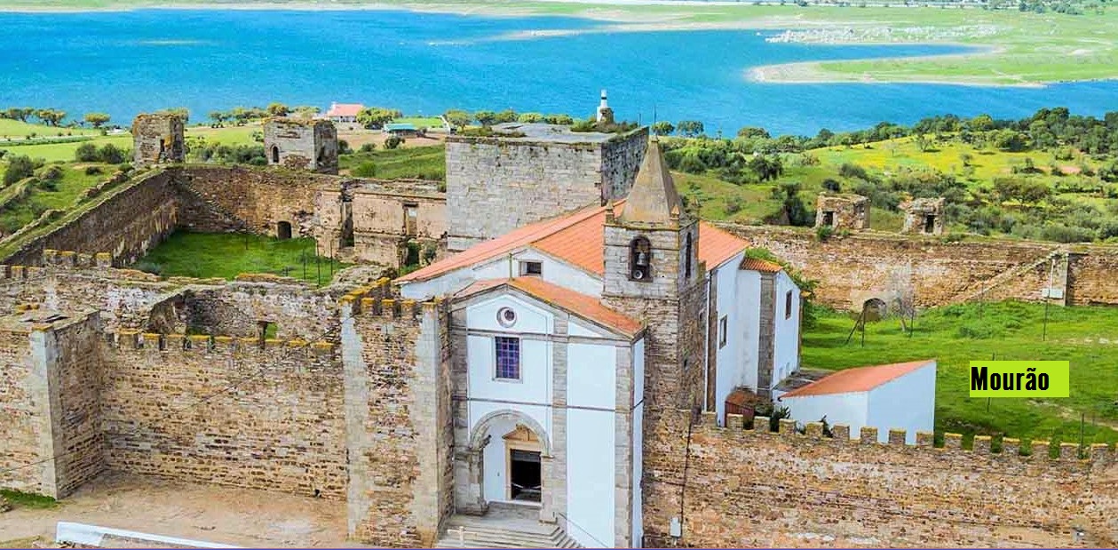
The Castle of Mourão stands in a dominant position over the old medieval village. From its walls, you can see the plain surrounding Monsaraz Castle to the north, and the border with Spain to the east.
Little is known about the primitive occupation of this site, besides that, at the time of the Christian Reconquest of the Iberian Peninsula, it was the scene of clashes between Muslims and Christians, when it was depopulated.


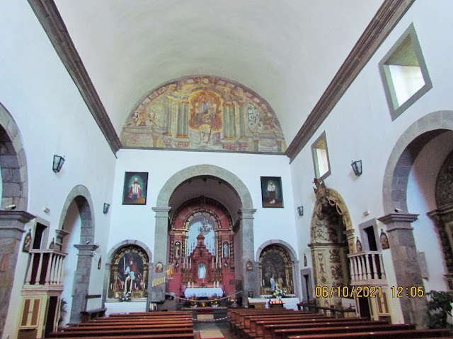


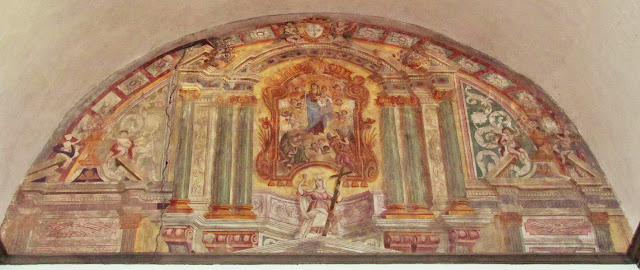


LUZ
38.34422º N; 7.38127º W
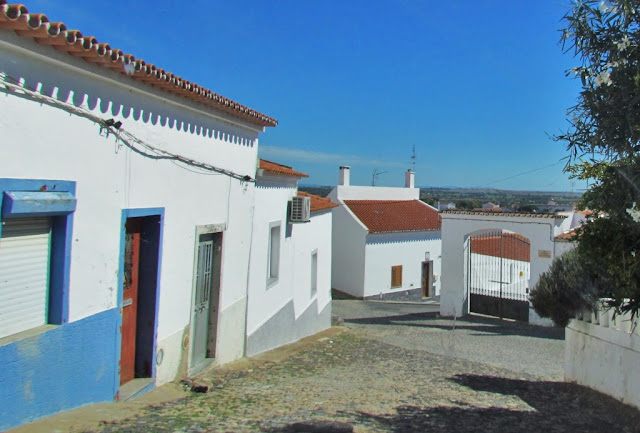
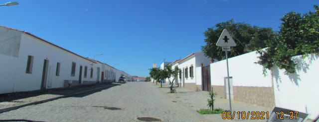
A large part of the territory of this parish was submerged by the waters of the dam of Alqueva, as of 2002. A new village was built, located about three kilometers from the old village, where all the inhabitants of Luz moved.
In 2002, 423 inhabitants were transferred to the new houses. In 2012 there were 297 residents. And about a hundred houses were unoccupied.
In the school which, at the time of its opening, had 28 children, in 2012 there were only eight and in 2015 only 1.


💓💓💓💓💓
SEARCH IN ALPHABETICAL ORDER
IN THE DISTRICT OF ÉVORA

Mora;
💓💓💓💓💓
Return to mainland Portugal &
the Azores and Madeira islands

