
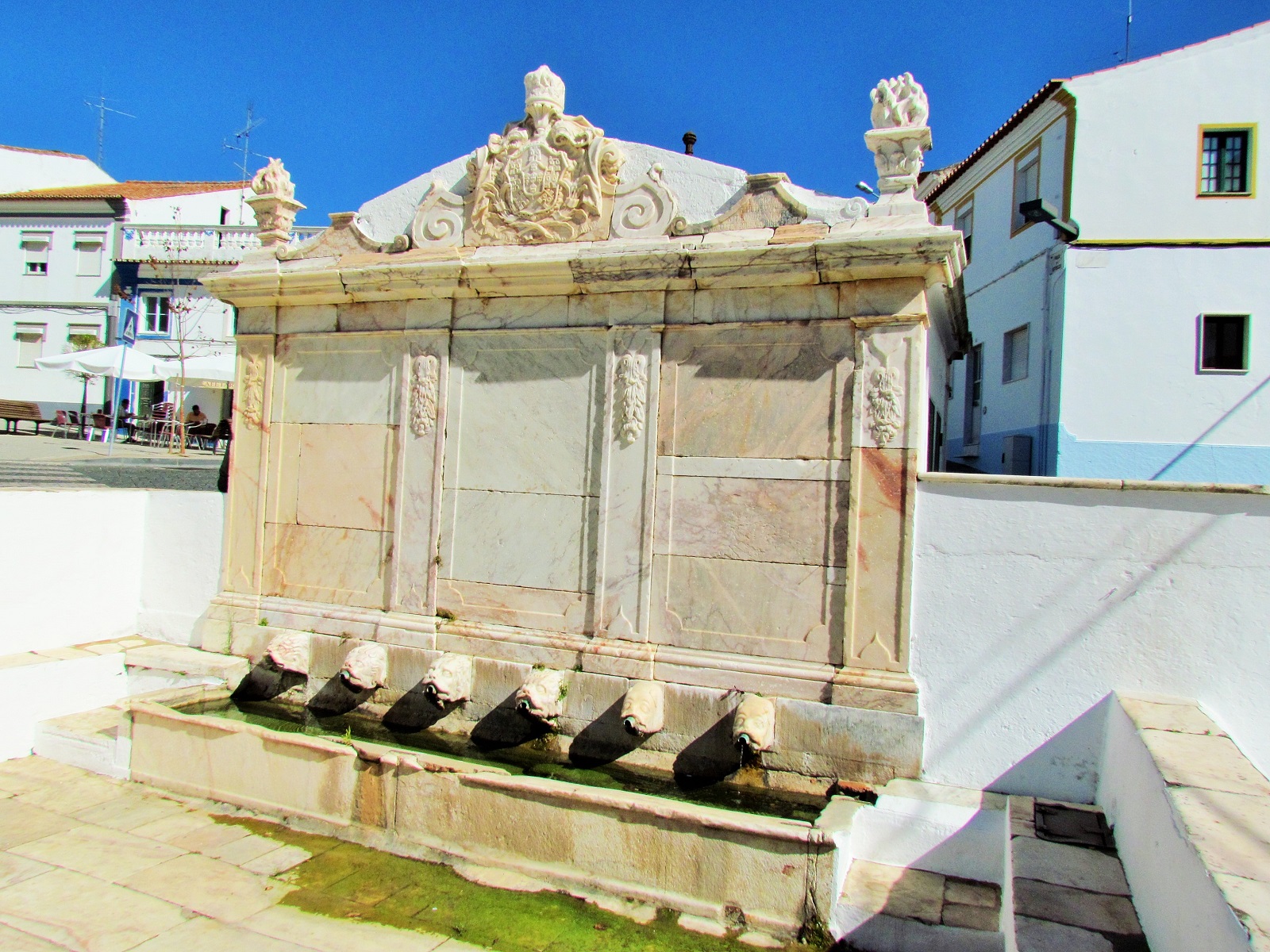
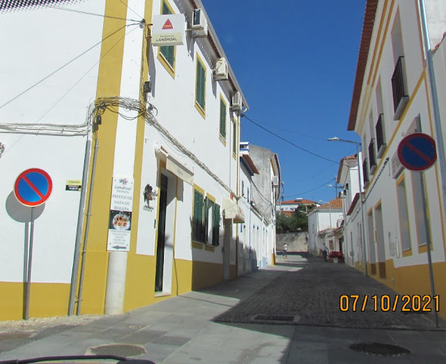
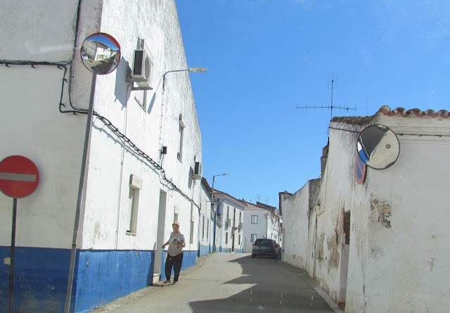
ALANDROAL
38.70204º N; 7.40495º W
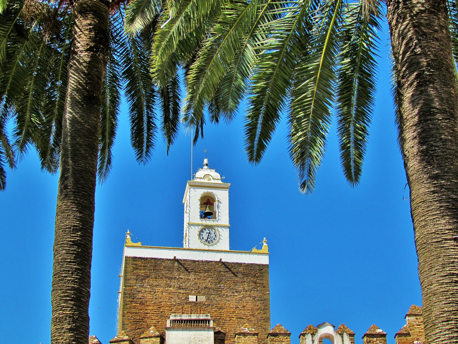
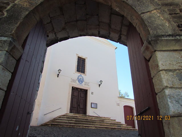
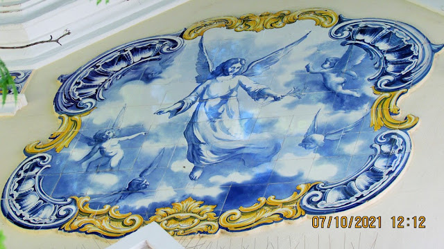
The sanctuary of Nossa Senhora da Assunção da Boa Nova, apart from its religious importance, is of national importance.
On 14 January 1659, a gunpowder warehouse exploded, causing the deaths of various residents, but primarily university students from Évora, who were dispatched to Alandroal while the main Portuguese army fought in the Battle of the Lines of Elvas.
The effects of the 1755 Lisbon earthquake resulted in the destruction of various buildings.
The municipality is delimited in the north by Vila Viçosa, east by the Guadiana River and Spanish border, south by Mourão and Reguengos de Monsaraz, and west by the municipality of Redondo. Alandroal is one of three towns defined within the municipality of the same name, and includes the villages of Terena and Juromenha.
The morphology of Alandroal is marked by a gently rolling relief with a minimum of 500 meters (1,600 ft) altitude, with exceptions to this including Patinhas, 351 meters (1,152 ft) and Castelo mountain 638 meters (2,093 ft). The Alqueva Dam, along the Guadiana River, is located in this territory, with major confluences including the Ribeira de Alcalate and Ribeira do Alandroal just the principal water resources.
The climate of Alandroal is a markedly Mediterranean temperament, characterized by a dry climate that is accentuated in the summer. Precipitation in the region hovers between 500 millimeters (20 in) between October and March, and 170 millimeters (6.7 in), during the dry season, which is irregular.
The municipality covers approximately 544.86 square kilometers (210.37 sq mi) and has 6585 inhabitants (2011).
The municipality's economic activities are connected to the primary and secondary sectors primarily. Agriculture continues to be important, with the cultivation of cereals, foraging, and industrial plants, such as olive orchards dominating the rural landscape. The raising of livestock, namely poultry, swine, and cattle, also draws on local resources, while 36.3% (or 1711 hectares) of the territory is covered in forests, allowing a nascent saw-milling and carpentry industry.


💓💓💓💓💓
SEARCH IN ALPHABETICAL ORDER
IN THE DISTRICT OF ÉVORA

Mora;
💓💓💓💓💓
Return to mainland Portugal &
the Azores and Madeira islands

